
Isolated Storm Chances This Weekend. Higher Heat and Humidity Thru Tuesday. More Active Next Week.
- Metro Weather Watch

- Jun 25, 2021
- 1 min read
Good evening! Hope everyone had a great day out there today! Temperatures stayed a tad below the forecast highs for some of us, thanks to the cloud cover. Can't complain about that. But the humidity is the bigger story today, reaching the lower 70's.
Dewpoints the next 5 days, will remain in the lower to middle 70's, with the exception of possibly Tuesday.

High temperatures thru Wednesday, will remain around 90 to lower 90's. We'll see those temperatures drop below normal by Thursday and Friday.

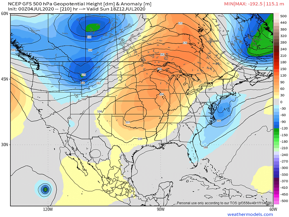
The severe weather threat, will remain to the northwest of the lower Ohio Valley region this weekend. At this time, only isolated heat of the day thunderstorms will be possible across the coverage area and this includes southern Illinois, southern Indiana, western, north-central and south-central Kentucky, to southwest Ohio. An isolated strong storm, with locally heavy rainfall can't be ruled out.


The 6-10 Day Outlook from the Climate Prediction Center is showing temperatures below normal. The Euro weeklies (not shown) are calling for below normal temperatures for the month of July. Below normal temps in July is welcome news!

Precipitation looks to be above normal, the next 6-10 days and beyond. We could certainly use some rain in the Evansville Metro Area. It has been dry for a bit now.

I hope you all enjoyed reading this short forecast blog. I will start doing these more often. Thank you for following us! Be sure and share our information with family and friends on Facebook and invite them to like our page.
Have a great night! -Certified Forecaster Tony M


Comments